
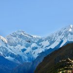
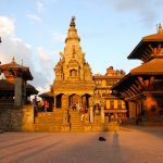
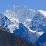
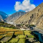
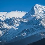
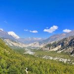
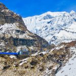
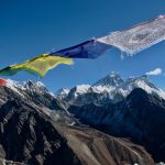
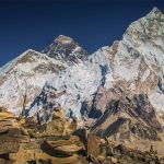
As the third highest mountain in the world, Mt. Kanchenjunga, “the five jewels of the great snow range” straddles the Nepal and Sikkim borders. This route is relatively un-trekked and thus the unspoiled villages and environment are yours to explore without the distractions of other trekkers. This wonderful trip starts with a sweeping scenic flight, covering range of mountains from Langtang, Everest to Kanchenjunga to the south gangetic plain in eastern Nepal with an overnight at Biratnagar, a short flight takes us to the foot hills of Mt. Kanchenjunga at Sukhetar, from here we hike through villages untouched by the modern world enclosed by pristine rhododendron, oak and pine forests. We will visit the South and the North Base Camp affording the best of views of the area. Challenged by the high pass crossings but each new step offers rewards of beauty and serenity. The return route is even more remote before joining the main trail and flying out of Taplejung.
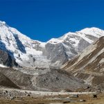
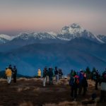
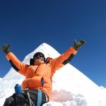
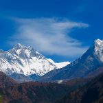
On this journey, we will trek through the South and the North of Kanchenjunga Base Camp giving you the best of both panoramas. The going can get quite strenuous sometimes while crossing the passes, but for every hard effort you will be rewarded with brilliant scenery as we head higher towards the windswept rugged terrain’s with awesome views of the towering peaks of the Kanchejunga massif under a clear wide blue sky. As we camp at Pang-Pema our highest camp of the trek we will have time to explore around before heading back.
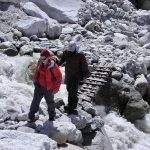
The return journey is made by an alternative route till the trail joins at Suketar in Taplejung for the last camp of the trek.
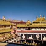
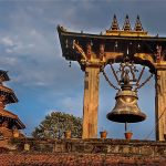
Kathmandu (Google Map)
1 Hour Before Tour

")
13 Days
Difficulty : Moderate
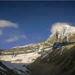
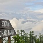
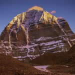
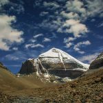
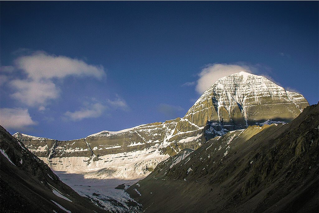
Highest Altitude : 5670m ( Dolma-la)
Best Season : May to September
Min People : 01 (Joining Group)
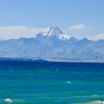
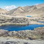
Routes : Kathmandu | Syfrubeshi |Kerung | Saga | Mansarovar | Darchen | Diraphuk | Zhthulphuk |
१० दिन
कठिनाई: मध्यम
उच्चतम उचाइ : ५६७० मिटर (डोल्मा-ला)
उत्तम सिजन: मे देखि सेप्टेम्बर
न्यूनतम व्यक्ति : ०१ (समूहमा सामेल हुने)
यात्रा रुट: काठमाडौं | सिफ्रुबेशी | केरुङ | सागा | मानसरोवर | डार्चेन | दिराफुक | कैलाश | जुथुल्फुक
 Optimized by Seraphinite Accelerator